Ski Tour Rink Lake
Exploring new terrain to tour
“Venture Beyond” is the motto for Jasper, so exploring is where we will go. With all the delayed access to some pristine skiing in the park, couple of the locals Dana Ruddy and Sean Elliott decided to explore some alternative routes to fill our days of skiing.
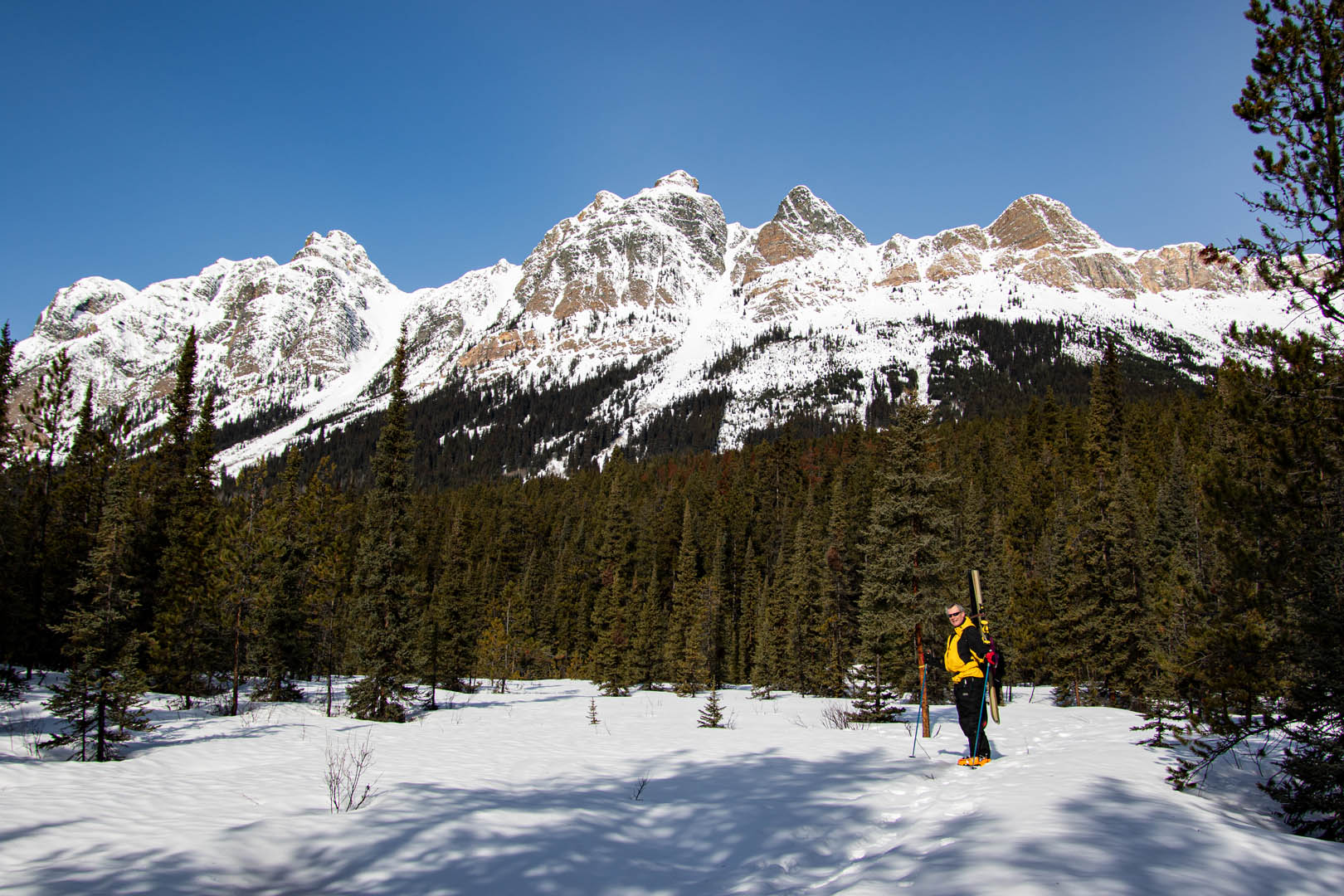
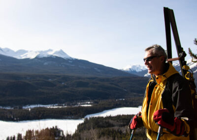
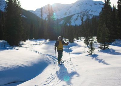
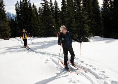
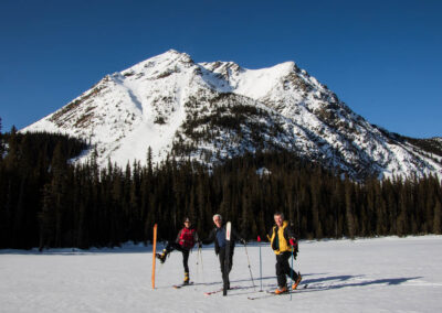
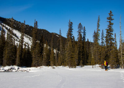
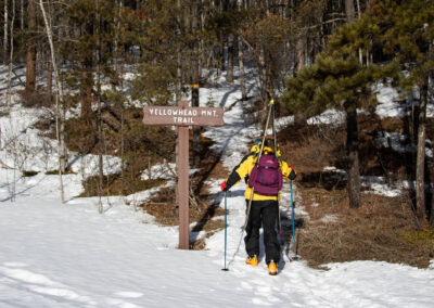
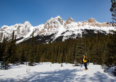
One of those routes is Rink Lake via the Yellowhead Pass and or the Miette River. This route took us (Reg, Art & Eddie) a good 10 hours with poor snow conditions. The snow was non existence for the first 2km or about 300 metre elevation, so that hike up with skis on our packs and slippery icy trail with our ski boots did not help. Our goal was 1,800 metres where Rink Lake resides. Starting elevation 1120 metre. highest elevation 1857 metre. Distance 22 kilometre. Duration 10 hrs including breaks. BTW, the highway section was not done with skis. 😉 (8km)
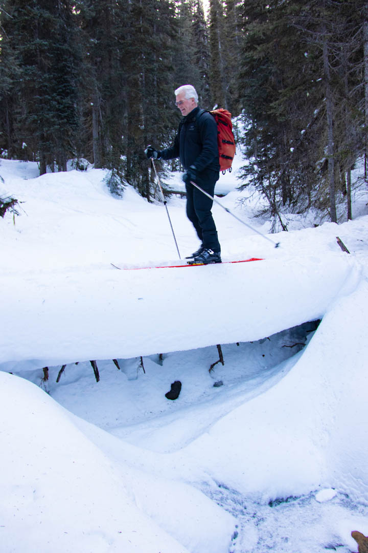
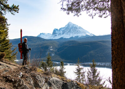
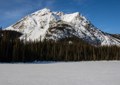
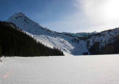
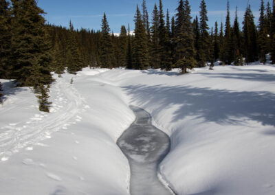
After reaching the pass the 100 metre decent on crusty narrow passage though the trees was a venture in itself. Reaching the creek we found out that we had to climb back up towards Rink Lake about 80 metres of elevation and another couple of kilometres. The frozen lake was such a pretty sight and it seems all the sweat was worth the exploratory trip. We did not have much time sticking around due to daylight and the decent on unexplored terrain we had to embark as we decided to complete the loop exiting on the Miette river.
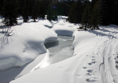
Again with the crusty un-turnable ski conditions, arrrg! We reached a drop on the creek where the sunlight was getting dim, lucky for me Reg was a little bit ahead and called out “DROP”, I stopped in my tracks and found a ten foot drop just inches in front of my ski tips. Sun has well set now and lucky for Art and me, Reg packed a couple of headlamps for some of the tricky parts of the river. The last hundred metre decent is fairly flat so it was quick moving under the moonlight.
Location Access
Access: Hwy 16, Just west of the Alberta/BC border
Parking: Yes
Trailhead: Yellowhead Mtn. Trail
Distance: 22 km one way
Activities: Ski tour, Back Country
2015
Photos updated for larger format 2021
#explorejasper #myjasper #in2nature #travelalberta #tourismjasper #exploretravel1 #myalberta1 #snowshoe #ExploreJasperCom
Tour Outfitters LINKS
- Walks and Talks Jasper (Guided Hiking Tours)
- Jasper Park Fishing (Guided Fishing)
- Alpine Art Eco-Tours (Guided Eco Tours)
- Maligne Rafting Adventures (Rafting Tours)
- Jasper’s Whitewater Rafting Company (Rafting Tours)
- Rocky Mountain River Guides (Rafting Tours)
- Jasper Raft Tours (Rafting Tours)
- Jasper Rafting Adventures (Rafting & Wildlife Tours)
Accommodations
- No listing since wildfire 2024
Hotels
Lodging Grande Cache, AB
- Grande Cache Hotel (Johnny Canoe Hotels)
Shops & Services LINKS
- Spa Jasper (Massage & Spa Services)
- My Jasper Nanny (Childcare & Dog Sitting Services)
- Edge Control (Ski & Outdoor Store)
- Weddings Jasper (Wedding Services Listing)
- Jasper Park Chamber (Jasper Chamber of Commerce
BUNGALOWS / CABINS
LODGING WEST IN BC
- Mica Mountain Lodge
(Located near Mount Robson, half an hour to the
Jasper National Park boundary) - Dreamcatcher Inn
(Located near Valemount Just over an hour west of Jasper)
Feel free to share this post. You can also request for some particular shots from us at Jasper Web Design. Request for the desktop view to experience the full content, some modules are not displayed on mobile for speed.

